

Training for the use of high-precision GPS
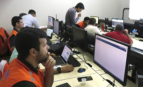
Maceió, July 15, 2019 - In July 11 and 12, professionals from the Civil Defense of Maceió went into training for the use of a high-precision GPS system to monitor possible ground movements in the district of Pinheiro and surrounding area. The training was provided by Victor Mitoshi Sakazaki, technical support at the company Santiago e Cintra and instructor of the course for the use of the Trimble 4D Control software.
High-precision GPS is another advance in the emergency actions proposed by Braskem to mitigate the problems in the district of Pinheiro and region, included in the Technical Cooperation Agreement signed with authorities. The civil defense members learned about the features of the monitoring system, data communication, collection time of observations, graphic generation, analyses and alarm configuration.
The high-precision GPS monitoring system to measure possible ground movements is formed by a network of GNSS receptors (Global Navigation Satellite System), with millimeter precision, used in local-scale topographic surveys and world-scale geodesic surveys. The combination of these receptors allows the monitoring of data in real time and helps authorities to make decisions and adopt the applicable measures in cases of unforeseen movements in the ground. The data are sent to the Monitoring Center of the Municipal Civil Defense.
Recognized experience
For a differential GPS service, Braskem hired the companies Santiago e Cintra Geo-Tecnologias and PCP Engenharia, both headquartered in São Paulo. Santiago e Cintra has 40 years of experience and is the pioneer in advanced technology to the topographic market; as per the PCP Engenharia, this is an expert company in topographic/geodesic and geotechnical monitoring, with experience in major Brazilian projects.